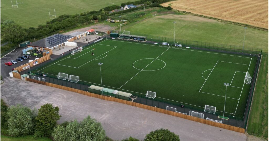
Address: Kayte Lane, Bishop’s Cleeve, Cheltenham, Gloucestershire, GL52 3PD.
Postcode for Sat Nav: GL52 3PD
For Google Maps location, see below.
Parking is available at the stadium.
Public Transport Directions
By Train: The nearest train station to Kayte Lane is Cheltenham Spa. Supporters are advised to catch the bus from the Station Forecourt to Bishop’s Cleeve (see details below). Supporters are reminded of Sunday services on weekend matchdays and should plan ahead accordingly.
By Bus: Travel to Bishop’s Cleeve is supplied by Cheltenham’s D & E buses which can be caught directly from Cheltenham Spa Station Forecourt. Supporters are encouraged to use the new E service, with the nearest stops being “Before The Highgrove” on Voxwell Lane. From here, the ground is a 15 minute walk from the crossroads with Cheltenham Road, along Two Hedges Road and onto Kayte Lane.
If supporters prefer, other stops later on this route (once the service reaches Mill Parade and starts the return journey towards Cheltenham) located closer to Kayte Lane include “Cleeve School”, or “After Woodman’s Way” on Bishops Drive. From here, the ground is a ten or seven minute walk respectively, along Two Hedges Road and onto Kayte Lane.
The D & E Bus timetable can be found here.
Supporters are reminded of Sunday services on weekend matchdays and should plan ahead accordingly.